Imagining Portus: From Archaeological Data to Computer Graphics
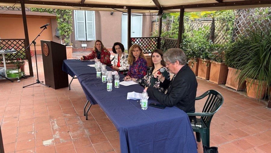
On January 26, 2016, the Rome Society of the Archaeological Institute of America hosted a public lecture on one of the imperial harbors of Ancient Rome: Portus.
JCU Professor Inge Hansen, Chair of the Department of Art History, opened the lecture by describing the mission of the Rome Society (Excavate, Educate, Advocate), before introducing the director of the Portus Project: Professor Simon Keay.
Professor Keay, who teaches Archaeology at the University of Southampton and at the British School at Rome, started by explaining the history of Portus. Located nearby the Fiumicino Airport, Portus was created under the reign of Emperor Claudius, before being expanded by Trajan. Rediscovered in the 16th century, the harbor features two main buildings: an Imperial Palace and an Imperial Shipyard.
The dimensions of Portus, 3.5 square kilometers, made the study of the archaeological site problematic. In order to better understand the site and its magnitude, the team guided by Prof. Keay decided to build a 3D model of Portus. The team started performing geophysical surveys of the area in 1998. In 2007, thanks to the data collected with surveys and excavations, the creation of the first 3D model was made possible.
Currently, the Portus model illustrates the six main periods of occupation of the harbor, as well as its status during different hours of the day and weather conditions. Prof. Keay defined it as “an idealized representation of how the site might have appeared based on the available information,” before adding that “it will be inevitable to rethink the model as new evidence comes to light.”
The model developed by the Portus Project has now become the foundation for all future research work at the site.


